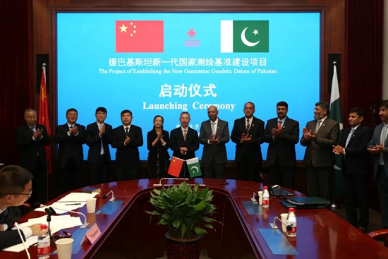
The project launching ceremony for establishing Pakistan’s new generation geodetic datum was recently held in Beijing.
Mr. Maj Gen Saeed Akhtar, Surveyor General of Pakistan’s State Bureau of Surveying and Mapping, and Mr. Zeng Huacheng, Deputy Director General of Agency for International Economic Cooperation of MOFCOM attended the event and delivered speeches respectively.
In 2011, the Pakistani government requested assistance from the Chinese government to establish a Next-Generation Geodetic Datum of Pakistan. This Geographic Information System mapping and surveying project is expected to encourage research and innovation in the areas of economy and society. Its linkages would promote cooperation between science and technology, public institutions and government agencies.
In May 2017, the Chinese and Pakistani governments signed letters of exchange and the Chinese government pledged financial support for the project. The Chinese Academy of Survey and Mapping is one of the organizations supporting the implementation of this project.
Cooperation between China and Pakistan is an important part of the Belt and Road Initiative. With the joint support of China’s Ministry of Commerce and Pakistan’s Ministry of Finance, the project of assisting Pakistan to establish a new generation of national surveying and mapping datum was officially launched this year.
Geodetic reference serves as a foundation for the management of geospatial information. After completion, the geodetic datum will improve the modernization and service level of Pakistan’s mapping benchmark to meet its economic and social development, as well as national defense needs.
With a highly accurate and consistent geocentric coordinate system, it will also provide much-needed basic geographic information for the planning, design and implementation of large-scale infrastructure construction under China-Pakistan Economic Corridor, according to MOFCOM.